A day trip to Bealey Spur in Arthur's Pass National Park
I
went for a tramp up to the Bealey Top Hut on Bealey Spur in early September of 2014, it was a great trip, the weather was outstanding and the
mountains looked spectacular with all the snow still on them.
 |
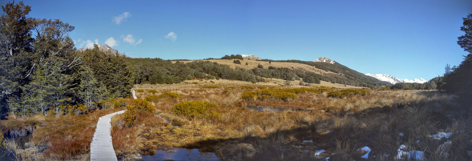
| Panorama of the tarns on Bealey Spur |
 |
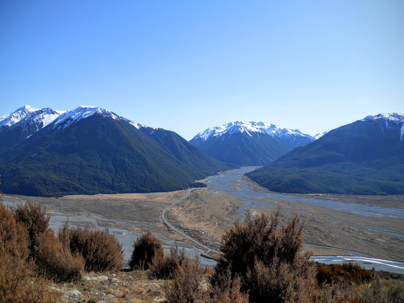
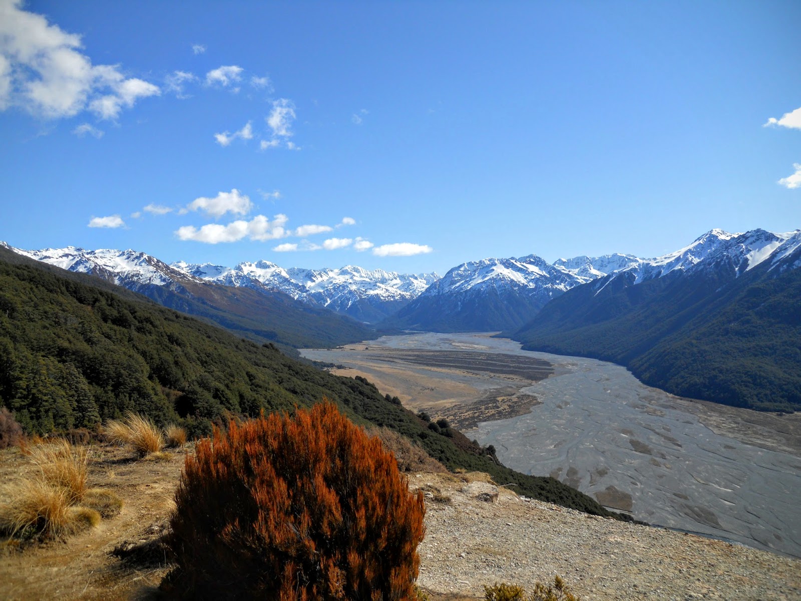
| Panorama of the Bealey, Edwards and Hawdon Valleys from Bealey Spur |
 |
| Bealey Spur Track |
Bealey Spur is about 10 kilometres short of Arthur's Pass village, and overlooks the Waimakiriri valley and Klondyke corner.
Heading up Bealey Spur
The track starts at the top of the access
road for the Bealey Bach settlement, it is about 2 odd hours to the hut,
climbing steadily all the time. Because of its location it tends to get
better weather than a lot of the other tracks in the park.
 |
| DOC track sign on Bealey Spur |
Here
is the car park at the top of the access road, there is space for about
3-4 cars here. There is also a much bigger car park at the bottom of
the Spur with a link track to the actual Bealey Spur track.
 |
| Bealey Spur Track: The very small top car park |
Its not a steep gradient by any means but you are constantly walking up hill for the next 2 hours.
 |
| Bealey Spur Track: The initial native bush |
No
major rivers or streams to cross only these small drainage ditches. You
could walk this track in the rain but would need to watch out as the
marking of the track is not great.
Very few poles or markers.
 |
| Board walk on the Bealey Spur Track |
 |
| Bealey Spur Track: Some steep parts... |
 |
| ...and less steep parts on Bealey Spur Track |
Hot?
Sort of....it was about 17 degrees and sunny, but the good over head
cover provided by the forest on the lower slopes of the spur helped a
lot.
 |
| Jon on the Bealey Spur Track |
 |
| Bealey Spur Track: Approaching the bush line |
Here
is the first view point about 30 minutes up the track, this is looking
out towards the Bealey - Edwards - Mingha Valley confluence.
 |
| View up Bealey River Valley:Bealey/Mingha/Edwards confluence |
After
an hour you break out of the beech and enter a regenerating area of
Manuka scrub, this area was burnt over during the pastoral days and is
only now rejuvenating.
 |
| Bealey Spur Track: start of the Manuka |
View
looking South East towards Mt Bruce, the Cass - Lagoon Saddle track
runs around the mid-upper slopes of this mountain before heading down to
Cora Lynn Station.
This track is on my "to do" list of future tramps.
 |
| Mt Bruce from the Bealey Spur Track |
View
South towards the Mt Hutt range and head of Bruce Stream, you can bush
bash down into the stream and walk out from there but it looks like a
"sporty" proposition.
 |
| View of head of Bruce Stream from the Bealey Spur Track |
That
way down there is Bruce Stream, the drop off point here would be about
200 vertical metres. If you go up this track watch out at these
viewpoints as there are no barriers to stop you falling
way...down....there...!
 |
| Bruce Stream Bealey Spur from above the gorge |
Here
is the top edge of the manuka and the start of the sub alpine
vegetation, you are walking through varied tussock basins, beech forest
and manuka for the rest of the way.
 |
| Bealey Spur Track: climb through the tussock |
First view of the Alps, this is the area between Mt Bealey- Avalanche Peak -Mt Rolleston at the head of the Crow Valley.
 |
| Mts Lancelot/Rolleston/Avalanche/Bealey from the Bealey Spur Track |
This is looking east towards the Dome and the Cass-Mt White bridge area.
 |
| Dome from the Bealey Spur Track |
View
south east towards Blind Spur, and the uppers reaches of Mt Bruce,. The
Cass - Lagoon Saddle track crosses the slopes just above the scrub in
the upper middle left of this photo.
 |
| Lagoon Saddle from the Bealey Spur Track |
North towards Klondyke Corner, Edwards-Bealey river valleys and State Highway 73 far below.
 |
| Klondyke Corner from the Bealey Spur Track |
Here
are the headwaters of the Waimakiriri river, Crow Valley, I didn't
realise how big this drop off is until I was down at Klondyke Corner
looking back towards Bealey Spur. It too is about 200 very steep metres
of scree and loose shingle.
 |
| Waimakiriri Valley and Jellicoe Range |
The forest opens up as you climb higher along the spur, with frequent tussock clearings in between.
 |
| Bealey Spur Track: One of the bush patches |
About
2/3 of the way up the track you arrive at the tarns, this area is the
most picturesque of the tramp. If you were running out of steam by this
point the tarns are a worthwhile destination in their own rights. The
hut is still about 2 kilometres away at this point.
 |
| Bealey Spur Track: Board walk around the tarns |
 |
| Bealey Spur: the tarns from ground level |
The
ice on top of that bog is about 40cm's thick, evidence of the low
temperatures which are the norm in the area. It might be possible to
camp near these tarns as there is a lip of slightly elevated ground
surrounding them. Buggy in Spring and Summer though.
 |
| Thick ice on Bealey Spur Tarns |
 |
| Bealey Spur Track: the tarns |
 |
| Bealey Spur Tarns from higher on the Bealey Spur Track |
The hut is just beyond the line of forest crowning the ridge line off to the right.
 |
| Approach the high point on the Bealey Spur Track |
A view back down on the tarns from above.
 |
| Bealey Spur Track: View down on the tarns |
Another panorama of shots from left to right from a resting point above the tarns.
 |
| Bealey Spur Track: West to the Black Range |
 |
| Bealey Spur Track: View of the Waimakiriri Valley |
 |
| Bealey Spur Track: View of Klondyke Corner |
 |
| Bealey Spur Track: View of Cass in distance |
There were the odd patches of snow amongst the trees as I got closer to the hut.
 |
| Bealey Spur Track: Bealey Spur hut is 30 metres away |
Here
is the first view of the hut, it has recently been repainted by DOC in
this vivd lime green colour. The hut is nestled on the edge of a tussock
clearing with a water tank, wood shed and toilet close to hand.
 |
| First view of Bealey Spur Hut |
Still
a bit of snow lingering in the shaded areas around the hut. I would
imagine it gets a lot of snow deep in winter being so close to the
Southern Alps.
 |
| The flats around Bealey Spur Hut |
At Bealey Spur Hut
Here
is the Bealey Top Hut, it is a very small DOC six bunk hut that you can
stay in overnight if the fancy takes you. Originally it was the
musterers hut for the sheep farm that existed on the spur. It must have
been hellish getting the sheep up and down the spur, glad I didn't have
to do it.
 |
| Bealey Spur Hut (1922?) |
 |
| Bealey Spur 'Top Hut" |
Rustic
interior! The beams for the walls and ceiling are made from beech
branches, it has an open fire, no insulation so it would be damn cold in
the winter. It must have been a very small space for 6 musterers to
occupy with all of their gear, food and "flossie".
 |
| Beech pole bunks in Bealey Spur Hut |
DOC historical board setting out the history of the hut and surrounding area.
 |
| DOC information baord about Bealey Spur |
The
walls are totally covered with the names and details of people who have
stayed in the hut, right back to the 1920's. Graffiti is not a modern
occurrence obviously!
 |
| Historic graffiti in Bealey Spur Hut |
 |
| View out door of Bealey Spur Hut |
Mission accomplished, lunch eaten now its time to head on down.
 |
| Jon inside rustic Bealey Spur Hut |
That way be home!
 |
| Snow pack on Bealey Spur |
Panoramic series of photos from a rest stop just before you reach the tarns.
 |
| View east down the Waimakiriri Valley |
 |
| View up Waimakiriri Valley from Bealey Spur |
Below
are a couple of shots of the tarns on Bealey Spur that I took as i was
descending the track. There are a lot of birds around here you can hear
them in the patches of beech forest hereabouts. I saw Tui, Kea,
Fantails, Bluebirds and a lot of waders.
 |
| The tarns on Bealey Spur |
 |
| Bealey Spur Tarns with Mt Avalanche in background |
Last view of the Waimakiriri headwaters...
 |
| Waimakiriri Valley laid out below you |
...and South East towards Cass.
 |
| Looking towards Mt White bridge from Bealey Spur |
There is something truly beautiful about the play of light on a forest in the early afternoon.
 |
| Bealey Spur Track: Back at start of track |
Here are a series of shots from Klondyke Corner showing Bealey spur from bottom to top.
 |
| Bealey Spur from left... |
 |
| Mt Bruce and Bealey Spur |
 |
| Bealey Spur Hut in the bush mid photo.... |
 |
| ...top end of Bealey Spur |
Steam locomotive at Klondyke Corner
Here
are a couple of photos of what I think are one of the old K Series
steam locomotives used up until the 50's on the Christchurch - Arthur's
Pass - Otira line.
A local trust owns this one and
several times a year runs to Arthur's Pass and back. They used big
Italian electric trains to take the carriages through the Otira tunnel
as the smoke from a steam locomotive would have asphyxiated the
passengers. There were a lot of train "enthusiasts" waiting to
photography the train as it passed.
 |
| Steam locomotive near Klondyke Corner |
My first trip for a couple of months and what a stunner of a day to be out and about in the mountains.
 |
| Bealey Spur location on SH73 |
Access:
Bealey Spur is on SH73 through Arthur's Pass, it lies just outside the
park boundary, 2 km's before the Bealey Tavern. There is a small 3 car
park at top of Bealey Spur Road, a larger one at the base of the Spur
with a connecting track.
Track Times: 2-3 hours to Bealey Spur (Top) Hut, 1.5-2 hours return to car park
Hut Details: Bealey Spur Hut: basic, 6 bunks, open fire, water tank, wood shed, toilets
Miscellaneous: Track is steep in places, hut is very rustic