A gallery of notable places in Arthur's Pass National Park
 |
| Devils Punchbowl Falls, Arthur's Pass National Park |
 |
| Mt Campbell & the Upper Waimakiriri River Valley, Arthur's Pass National Park |
 |
| A Kea or New Zealand Mountain Parrot at the Arthur's Pass Store and Cafe |
 |
| Mt Binser and Binser Saddle from Mt White Road, Arthur's Pass National Park |
 |
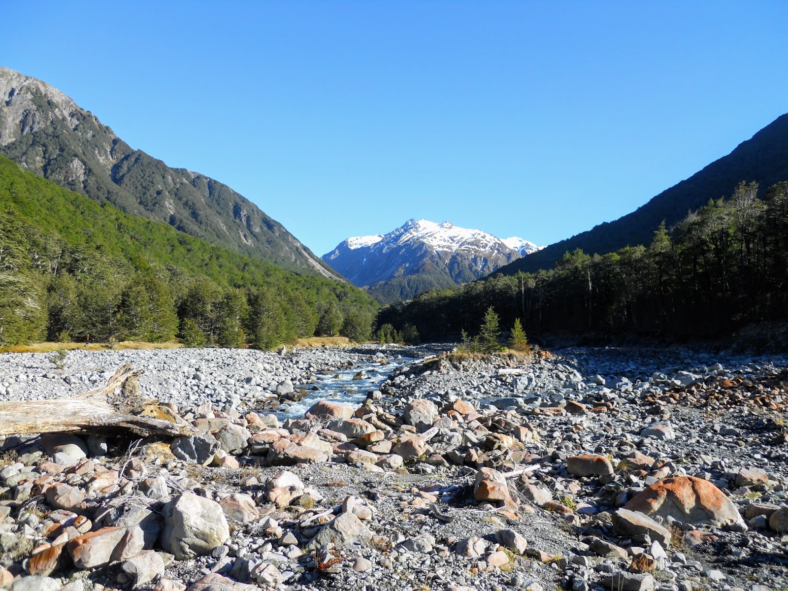
| The Upper Hawdon River Valley, Arthur's Pass National Park |
 |
| The bridge over Devils Punchbowl Creek, , Arthur's Pass National Park |
 |
| The Otira River near the Taramakau Valley, western boundary of Arthur's Pass NP |
 |
| The Eastern boundary of Arthur's Pass NP with the Waimakariri River Valley behind |
 |
| Morrison's Footbridge, Otira-Deception River confluence |
 |
| Otira River Valley from below Mt Philistine, Arthur's Pass National Park |
 |
| View of Taramakau River Valley from Harpers Pass: left side of valley is Arthur's Pass NP |
 |
| East face of Mt Rolleston and Crow Glacier from near Anti Crow Hut |
 |
| The tarns on Bealey Spur, Arthur's Pass National Park |
 |
| A braid of the Waimakiriri River from O'Malleys Track |
 |
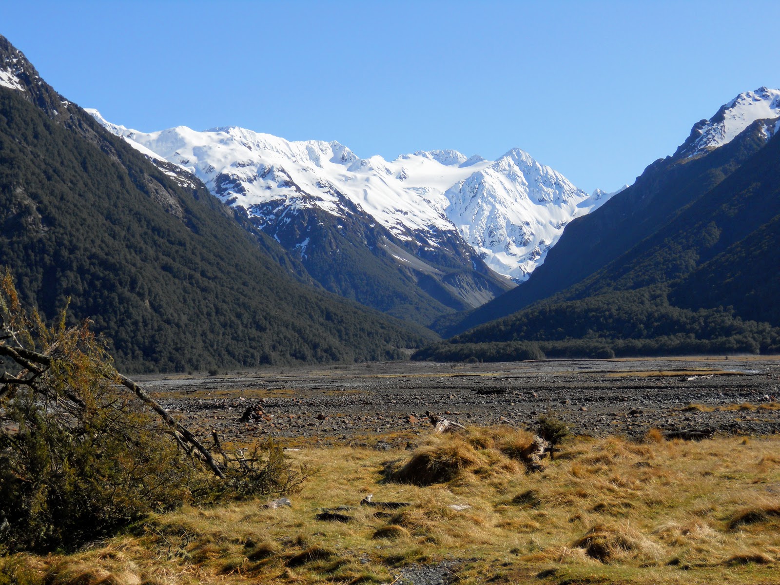
| View of East Hawdon Valley, September 2019 |
 |
| Arthur's Pass Rail Station with Mt Bealey to rear |
 |
| Devils Punchbowl Falls, Arthur's Pass National Park |
 |
| Mt Rolleston from the Upper Bealey Valley, Arthur's Pass National Park |
 |
| Otira Viaduct from the viewing area Arthur's Pass National Park |
 |
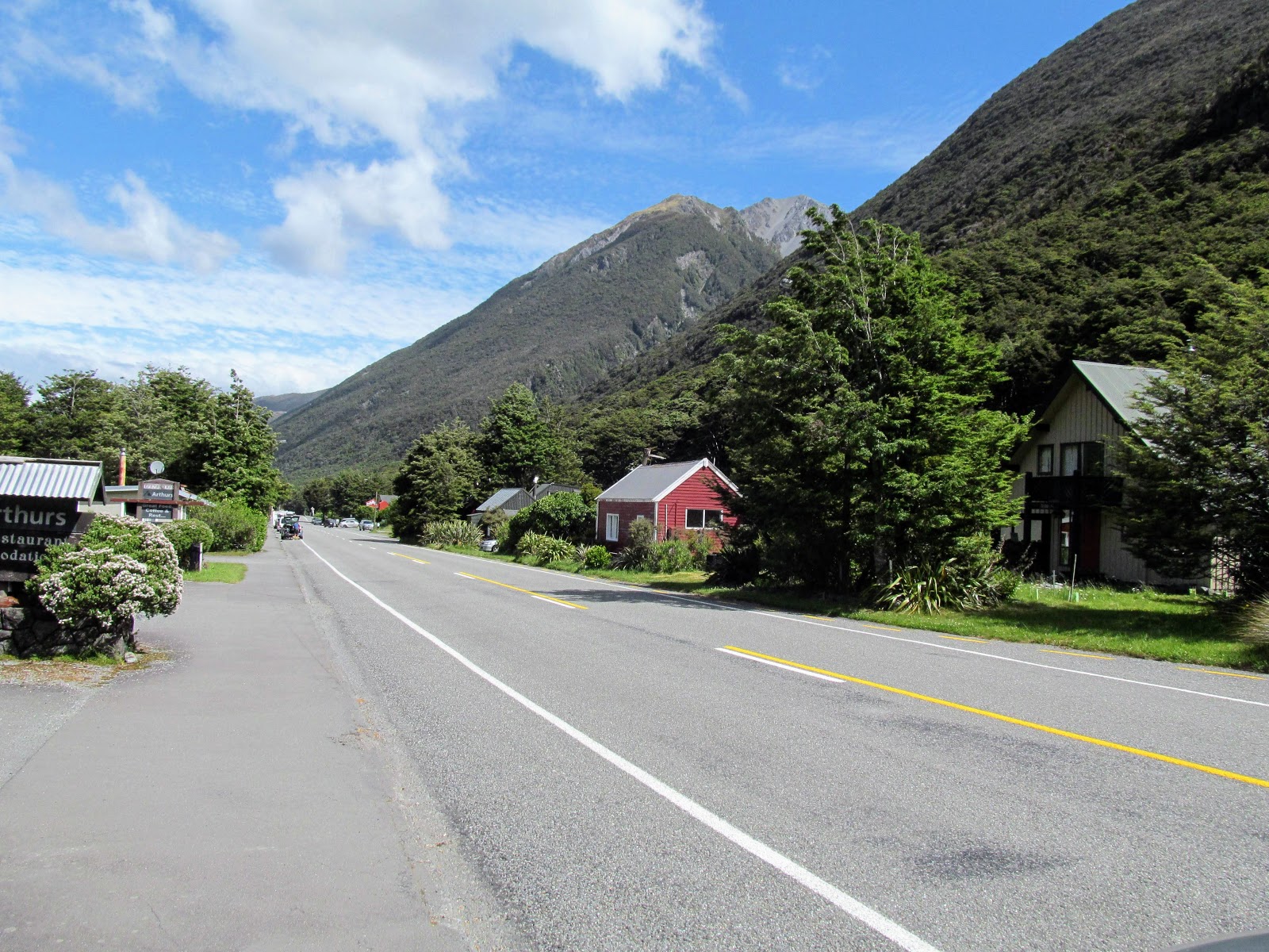
| Arthur's Pass from near the western edge of the village |


No comments:
Post a Comment